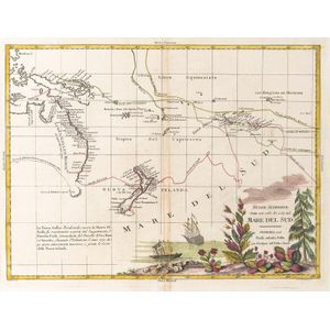
Centurion's Route Map, France 1787
You must be a subscriber, and be logged in to view price and dealer details.
Subscribe Now to view actual auction price for this item
When you subscribe, you have the option of setting the currency in which to display prices to $Au, $US, $NZ or Stg.
- Circa - A Latin term meaning 'about', often used in the antique trade to give an approximate date for the piece, usually considered to be five years on either side of the circa year. Thus, circa 1900 means the piece was made about 1900, probably between 1895 and 1905. The expression is sometimes abbreviated to c.1900.
This item has been included into following indexes:
- maps - general 463
Visually similar items

Nuove Scoperte, Fatte nel 1765, 67, e 69 nel, Mare Del Sud' by Antonio Zatta [Venice, 1776], window mounted, overall 57 x 49 cm. Tooley 1431.

Framed hand coloured Chart, the Track of the Centurion round the world. Engraver Rw Seale

Carte Generale De L'Oceanie by Brue [Paris 1827]. 52 x 58 cm

Die Nordkuste von Bass's Strasse, aufgenommen im Decemr. 1800 von Lieutn Jac.Grant' (Weimar, 1806), early map of the coast of Victoria with Portland Bay, 29 x 19 cm.,
