Launceston Town Map, Van Diemen's Land, 1855
A colonial surveyor's map, 'Plan of the town of Launceston, Van Diemen's Land, from the actual survey by H. W. H. Smythe, 1855', 64 cm high, 78 cm wide
You must be a subscriber, and be logged in to view price and dealer details.
Subscribe Now to view actual auction price for this item
When you subscribe, you have the option of setting the currency in which to display prices to $Au, $US, $NZ or Stg.
This item has been sold, and the description, image and price are for reference purposes only.
This item has been included into following indexes:
- maps - general 463
Visually similar items

Map, 'Royaume de Hongrie et Pays Adjacents,' par M.Bonne, Andre Scul. Engraving. 25 x 36 cm
Sold by
in
for
You can display prices in $Au, $US, $NZ or Stg.

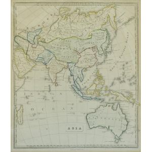
Map, 'Asia (including Australia) 1839.' Allan, Bell & Co. 1837. Engraving. 35 x 30 cm
Sold by
in
for
You can display prices in $Au, $US, $NZ or Stg.

India Map: 'Tabula Asiae X' by Sebastian Munster [Basle, c1561], window mounted, framed & glazed, overall 54 x 48 cm.
Sold by
in
for
You can display prices in $Au, $US, $NZ or Stg.

Map of the District of Adelaide, South Australia, published by John Arrowsmith, 1840, lithograph, 65 x 55 cm
Sold by
in
for
You can display prices in $Au, $US, $NZ or Stg.
