Map of New South Wales and Islands, 1794
You must be a subscriber, and be logged in to view price and dealer details.
Subscribe Now to view actual auction price for this item
When you subscribe, you have the option of setting the currency in which to display prices to $Au, $US, $NZ or Stg.
This item has been included into following indexes:
- maps - general 463
Visually similar items

Carte Reduite Des Terres Australes, Pour servir a l'Histoire des Voyages' by Jacques Bellin, [Paris, 1753], lovely map showing hypothetical east coast of Australia, 36 x 25 cm.

Map, NSW, New Zealand, New Hebrides & the Islands Adjacent. Robert Wilkinson, pub. London 1808. Inset map of port Jackson & Environs. Coloured engraving

India: Team sheets / autograph pages (5) for 1983 1st Test v West Indies, 1984 Young India tour to Zimbabwe, 1984-85 5th Test v England, 1985 tour to Australia, 1985 tour to Sri Lanka.

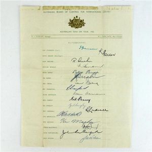
Australian board of control for international cricket Australian Team on Tour 1956 Squad signatures comprising Ian Johnson (Captain), Keith Miller (Vice-Captain), Ron Archer, Ritchie Benaud, Peter Burge, Jim Burke, Ian Craig, Pat Crawford, Alan Davidson, N
